
NationalMap Basemaps serves up New Zealand-wide standardised content that is updated on a monthly basis, giving you the confidence that the content you’re serving up is supported by the context behind it.
Fast performance enhances productivity and accessibility; and OGC compliance and IS0 9001:2015 quality-accredited maintenance processes ensure authoritative, seamless nationwide content.
With three stunning, clean designs ready to go, or the ability to be configured to your specific requirements, our basemaps ensure you get the uncluttered detail you want, how you want it, when you want it.

Their fast, smooth performance enhances productivity

Choose from four, pre-configured basemaps or let the NationalMap team create one just for you

Used with NationalMap data, the basemaps guarantee precise alignment

Allows users to emphasise their important data and findings
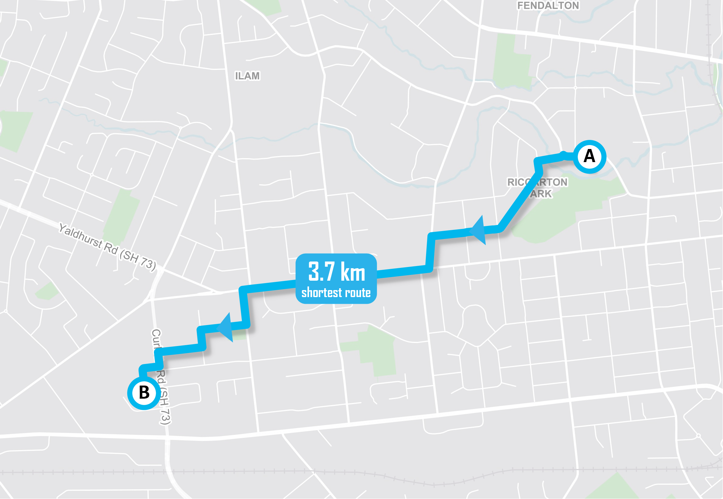
Using accurate and consistent features to showcase your routing data gives you the confidence to back the content you’re presenting, as well as enabling you to better understand the impacts and benefits of your chosen routing.
Displaying the same transport network used for route calculations, and with a wide range of precisely mapped complementary features (including water bodies, built-up areas, retail areas, parks, schools, and hospital sites), NationalMap Basemaps offers up a comprehensive yet clean, visually appealing foundation for your data.
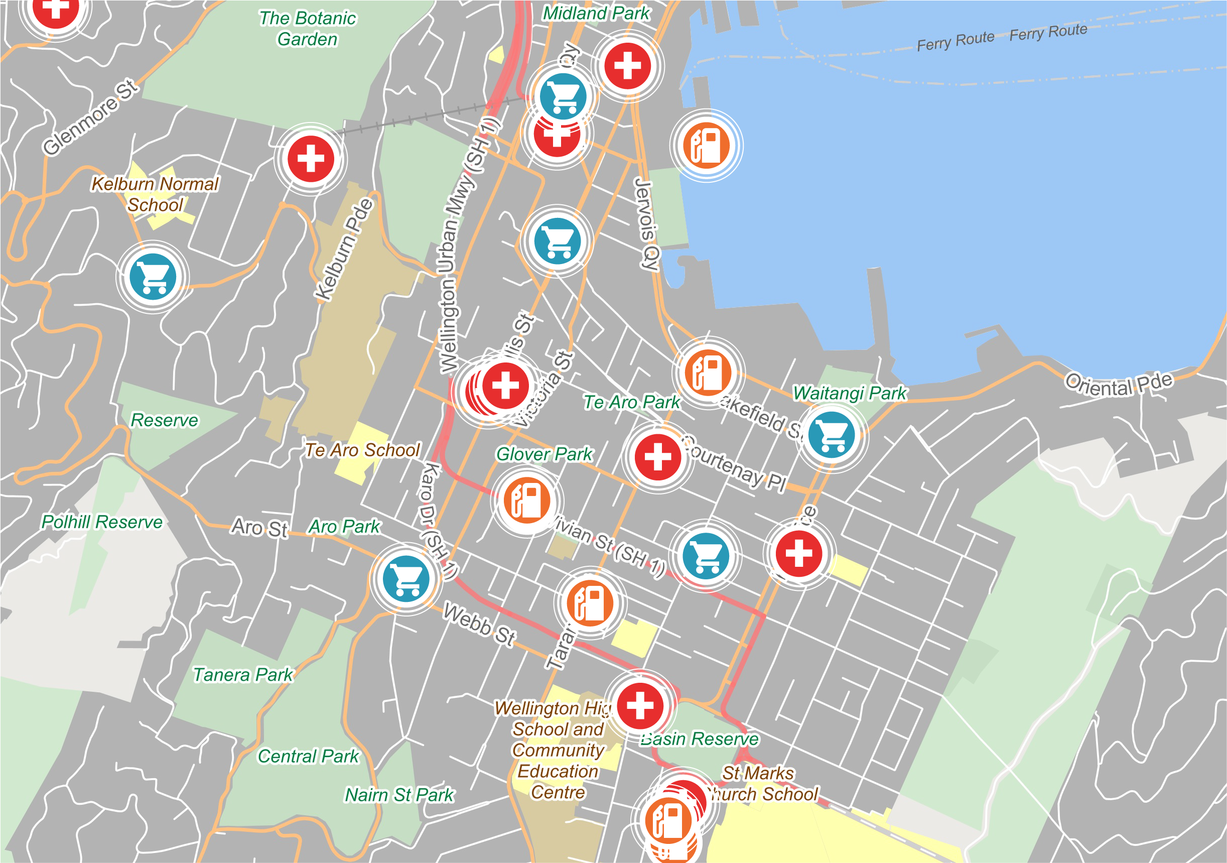
In a critical event or situation, you need access to an accurate, reliable solution – one that’s available at the click of a button, offering trustworthy and standardised content that ensures greater transparency for everyone involved.
The content in NationalMap's Emergency Basemap is consistent across the whole of New Zealand and combines best-of-breed government and commercial datasets into a single, vertically integrated view. Stakeholders, decision makers, and responders have the ability to access a single source of truth that offers real situational awareness.
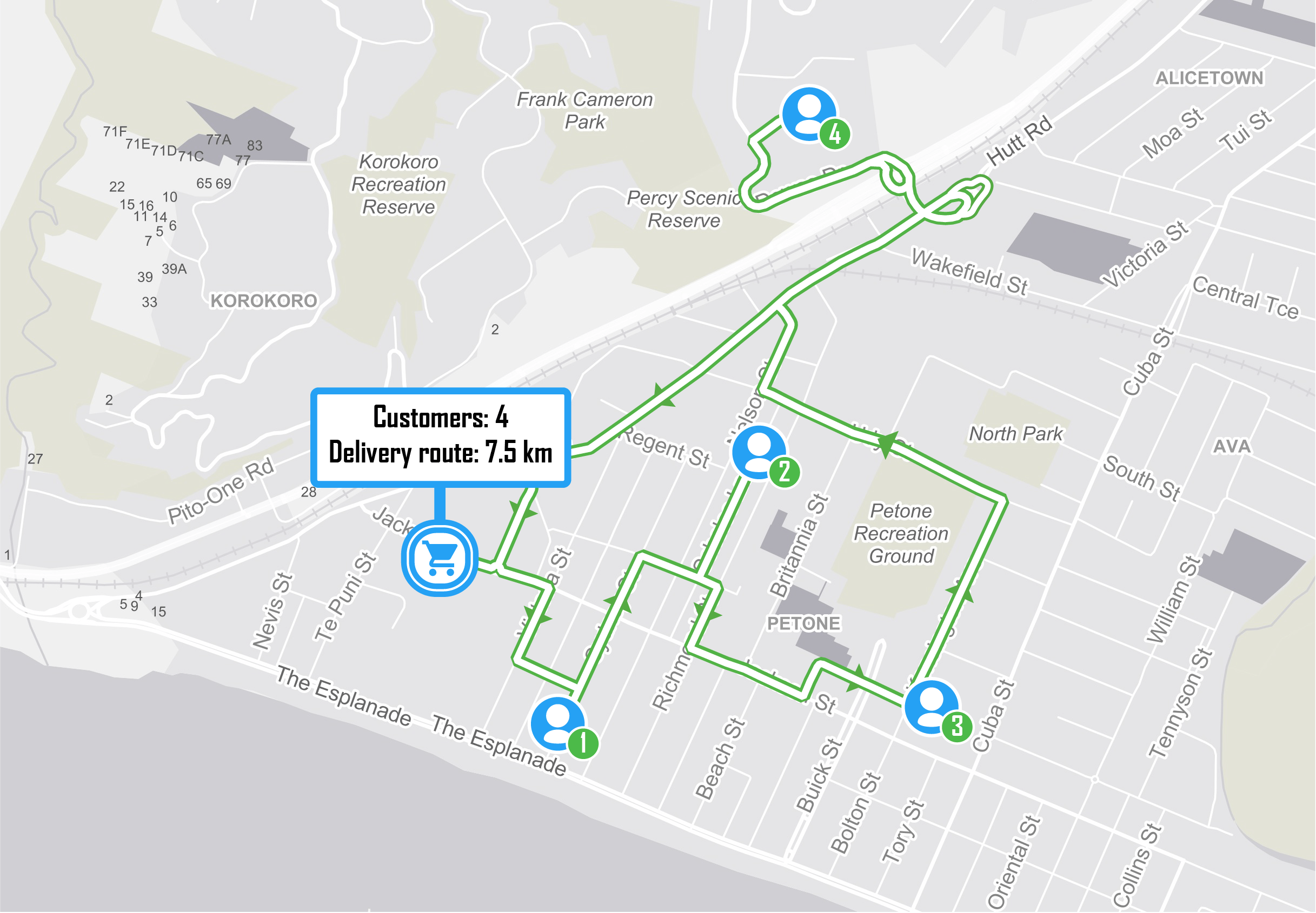
When the success of your business relies on the consistent, quick, and accurate delivery of your services, you want a reliable solution that enables this in the simplest, most cost-effective way possible.
The authoritative, intelligent, and detailed content of NationalMap Basemaps gives you immediate access to what you need – a standardised, dependable view of your customers, their locations, and how to reach them effectively. Customisable and incredibly user-friendly, the solution minimises time and resource, allowing you to focus on what’s important: running your business as successfully and simply as possible.
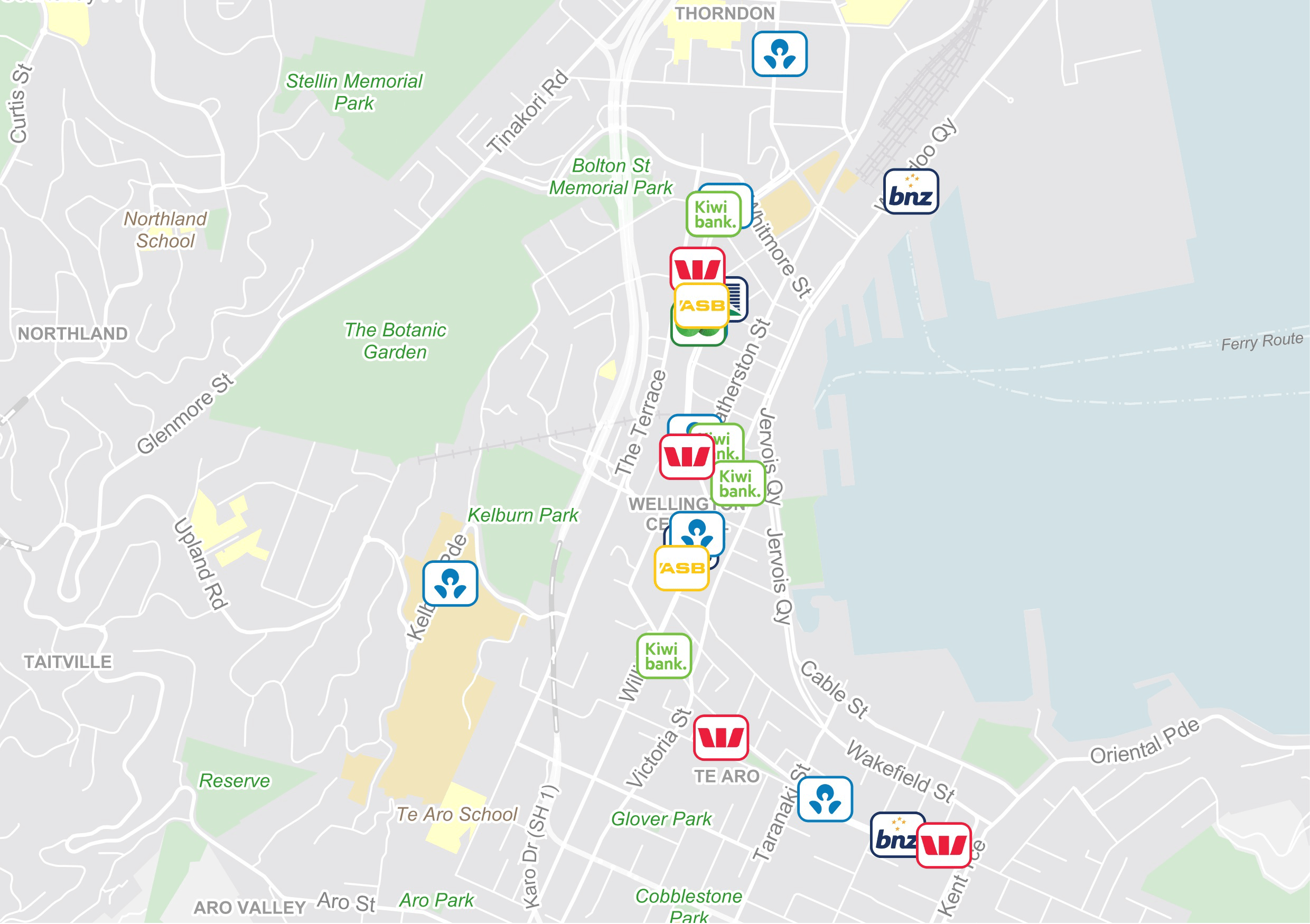
For retailers and service providers, the ability to make successful investment decisions and maximise profitability comes down to truly understanding their own locations, their competitors’ locations, and the surrounding areas and features.
NationalMap Basemaps offers exactly that. The ability to use it in conjunction with your own industry data, or with a customised dataset created by NationalMap specific to your needs, enables you to gain authentic insight into the parts of your industry sector that matter most, helping you achieve the outcomes and benefits you really want to see.

NationalMap Basemaps are available in the format and projection of your choice. We have four beautiful, clean basemaps ready to access – Light, Colourful, Grey and Emergency Management – or we can work with you to configure a basemap that is specific to your needs. From there, we’ll send you the URL, and it’s all yours to pull through into the system or software of your preference.

Reachmedia is NZ’s only unaddressed mail distribution specialists. We provide market-leading services such as Marketing Optimisation, Digital Retail and Operational Excellence.
We use Market Intelligence tools to assist customers with optimising their Marketing activity and to build effectiveness and return on investment. The Market Intelligence tools are enriched by NationalMap data, including points of interest in the vicinity of our customers’ sites, determining catchment areas, and creating targeted and optimised distribution plans, and more.
Dusan Matic, Market Intelligence Manager, Reachmedia



100% New Zealand owned and operated.
© 2025 NationalMap | Terms and Conditions | Privacy Policy