What is rural road routing data?
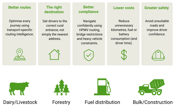
Rural road routing data is specialised mapping data designed to help commercial vehicles navigate safely and efficiently through rural road networks. Unlike standard navigation data, it can include information such as road classifications, bridge restrictions, HPMV suitability, turn restrictions, speed limits and verified rural delivery locations. This enables transport operators to plan more accurate routes, reduce unnecessary kilometres and help drivers reach the correct destination with greater confidence.
How is NationalMap different from standard navigation data?
Standard navigation data and platforms (like in-car sat nav and smartphone apps) are designed to help everyday drivers travel from one address to another. NationalMap is designed for commercial fleet operations. It combines highly curated road, routing and address data with transport-specific intelligence such as HPMV routing, bridge and turn restrictions, verified rural delivery locations and operational access points. The result is routing data that better reflects the real-world requirements of heavy vehicles operating across New Zealand's rural transport network.
Does NationalMap support HPMV routing?
Yes. NationalMap includes routing intelligence to help support High Productivity Motor Vehicle (HPMV) operations. This includes HPMV-approved routes together with other transport-specific information such as bridge restrictions, turn restrictions and road classifications. By incorporating these attributes into routing decisions, transport operators can help improve compliance, reduce planning time and avoid routes that may not be suitable for larger vehicles.
Can NationalMap help drivers find the correct rural entrance?
Yes. In rural New Zealand, the location where a vehicle needs to arrive is often different from the property's postal address. NationalMap's delivery point intelligence helps guide drivers to the correct rural entrance or operational destination rather than simply the nearest address. This can reduce missed deliveries, unnecessary phone calls, incorrect turnarounds and wasted driver time, while improving the efficiency of rural delivery operations.
Can the data integrate with existing routing or fleet-management systems?
Yes. NationalMap data is designed to integrate with a wide range of routing, fleet management and GIS platforms. Whether you're developing a custom logistics solution or using commercial fleet-management software, NationalMap provides data that can support route optimisation, navigation, operational planning and location intelligence. Contact us to discuss your specific software environment and integration requirements.
Which rural supply chain industries use NationalMap?
NationalMap is used by organisations operating heavy vehicles across a wide range of rural industries. These include dairy and livestock transport, forestry, fuel distribution, bulk freight, construction, agriculture and other commercial fleet operations where accurate routing and reliable destination data are critical. Any organisation moving goods, equipment or services through New Zealand's rural road network can benefit from more accurate, transport-specific mapping data.
Why isn't a postal address always enough for rural deliveries?
In rural areas, the postal address is not always the location a heavy vehicle needs to reach. A farm entrance, milking shed, forestry gate, depot or loading area may be some distance from the property's registered address. NationalMap helps bridge this gap by providing verified delivery location intelligence that directs drivers to the operational destination rather than simply the nearest address. This can improve delivery accuracy, reduce delays and help avoid unnecessary driver frustration.
__________________