
Photo credit: Tyler Lastovich - Pexels
With the men’s rugby world cup upon us, most of the country will be glued to their TV screens for the next few weeks. However, there is also a number of Kiwis who would probably much prefer a nice long walk over the rugby…
And, as the old sporting saying goes, it is (after all) a game of two halves, so here at NationalMap we have been thinking about how we could write a blog post that is one half rugby and one half a nice long walk!
Long walks in nature and the Rugby World Cup
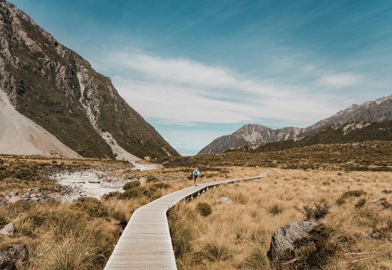
We are of course blessed with some of the most dramatic natural scenery in the world right here in New Zealand, with some of the world’s greatest (longest?) walks and national parks as a result.
Indeed, U.S. News recently ranked the best national parks in the world for 2023, it’s packed full of all the marquee names you’d expect, with our own Fiordland National Park making an appearance at number 15.
Indeed, when we think of the “great national parks of the world” a few names probably spring readily to mind for most of us, romantic and awe inspiring names such as Yellowstone, Kruger and Yosemite. I imagine most of us think of these places as vast pristine wildernesses, and of course they are.
But how big are New Zealand’s national parks? How do they compare in scale internationally and how do we get a MEANINGFUL idea of how big they are in comparison to a unit of measurement that makes sense to us?
Would you be surprised to learn that at 12,317 km2 our very own Fiordland National Park is not only bigger than either of Yosemite (3,074 km2) or Yellowstone (8,983 km2) but bigger than both combined!?
Scale is a trickier question when it comes to geography, however, as it is often quite difficult to accurately convey scale in a genuinely meaningful way.
One reason is because despite all the incredibly technology we take for granted these days, we still use map projections that create visual distortions. We’ve covered aspects of this before on the NationalMap blog - it is why Canada and Russia (for example) look so much bigger on a map than they actually are.
But with all eyes on the rugby pitches of the world cup, what better unit of measurement right now than the standard rugby field to use as a yardstick for scale?
Most Kiwis will have a pretty good mental picture of how big a rugby field is, and with some variation accepted and some minor rounding, the rugby experts at Rugby World confirm the pitch dimensions as 100m x 70m - so those are the dimensions we’ll go with.
Check out the infographic below to see how many rugby fields each of our 5 biggest national parks contain.
.png?width=950&height=948&name=NML%20National%20parks%20for%20web%20(frame).png)
Of course capturing the extent of New Zealand’s national parks is just a very minor part of the NationalMap dataset in terms of effort to monitor, as there’s not much built infrastructure there and the great national park extents don’t tend to grow or shrink much (or regularly).
They are however a large 12% of NZ’s total size and important part of the digital twin of New Zealand that the NationalMap dataset represents.
So, while it is definitely true that the majority of our curation time is spent on updates like roads and housing developments for NationalMap, the large physical areas like national parks aren’t wholly unaffected by change or attribute enrichment. For example, when proposals for things like a new South Island trail that could be New Zealand's next Great Walk get media coverage it grabs attention here at NationalMap.
That’s because everything is related, the roads that connect people to our national parks and great walks, the closest town for supplies and the types of shops or services in that town (so walkers and hikers know what provisions and necessities they can get locally before they set off on their next adventure).
The physical world and our built environment is all captured in NationalMap’s digital twin of New Zealand, comprising not only physical features, infrastructure and built environment, but also Points of Interest (POI) data such as, hospitals, supermarkets and petrol stations to name but a few.
What Nationalmap datasets really excel at is measuring change over time for the attributes you are most interested in.
Thankfully, the pace of change is just that much slower when it comes to our beautiful national parks.
Get in touch with us today if you want to understand how NationalMap data and solutions can help your business or organisation.