
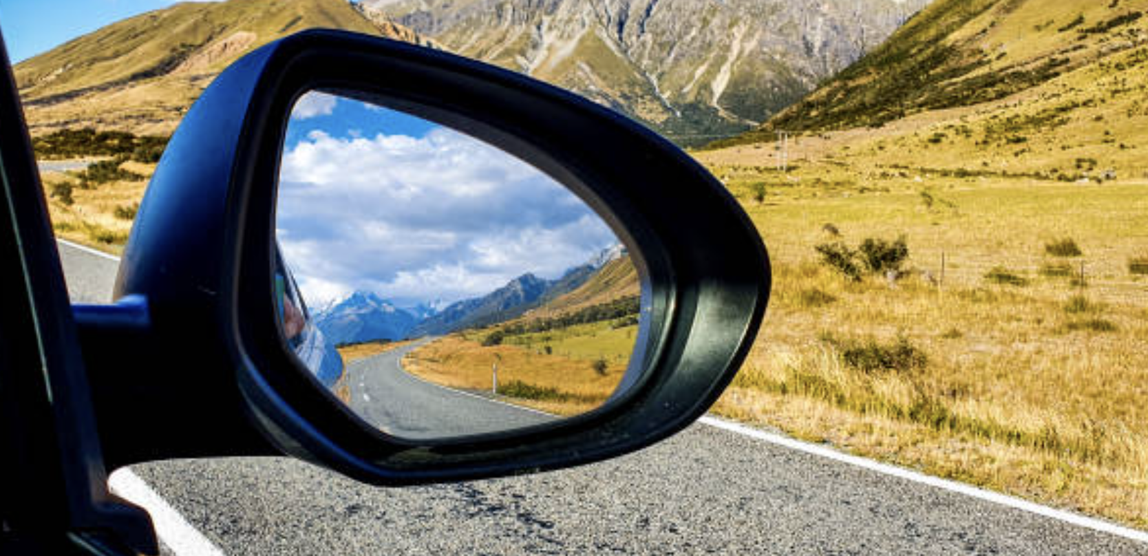
A lot can change in 10 years.And, if we look back into the rearview mirror of our past, then we can see quite clearly that 2014 really was a different place and time, where things were done differently, for example, neither Zoom meetings or Netflix were even really a thing back then.
Over the last few weeks, the NationalMap team have been working on a project for a client that is largely based around identifying the physical attributes, infrastructure and amenities of our cities and towns.
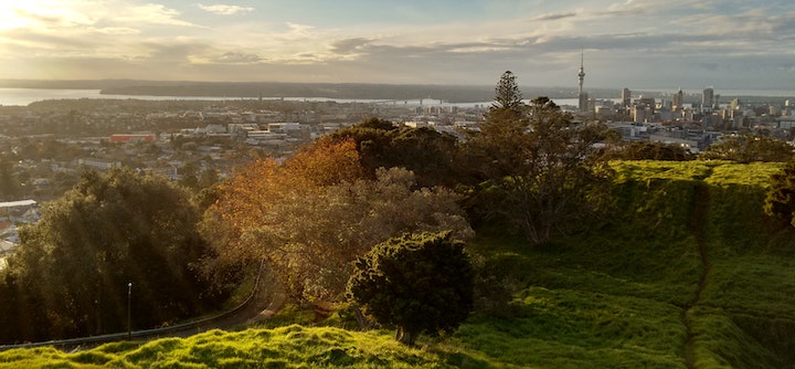
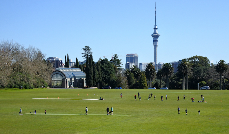
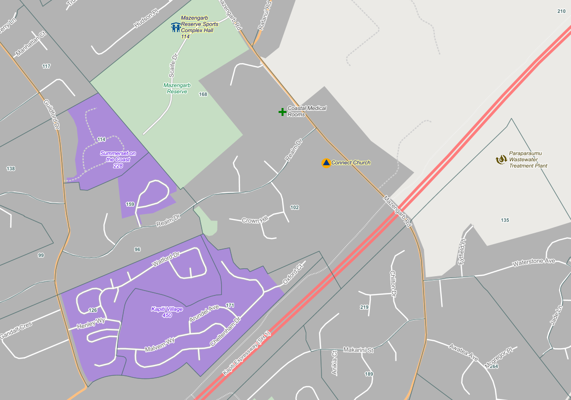
A proposed housing development south of Auckland got me thinking about the location of new housing
My expertise is mapping…..mapping the above ground, or ‘viewable world’, but there is a whole other world in underground services, which is vital to our everyday as we know it.
Interestingly, academics often trace the very origins of geographic information systems (GIS) to the beginnings of epidemiology and John Snow’s Cholera map of 18541.
Globally, the COVID-19 outbreak is demonstrating, in almost real-time, how individual countries, such as Italy, must respond to a truly national emergency.