
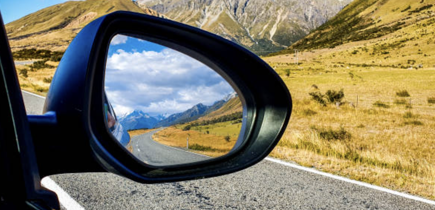
A lot can change in 10 years.And, if we look back into the rearview mirror of our past, then we can see quite clearly that 2014 really was a different place and time, where things were done differently, for example, neither Zoom meetings or Netflix were even really a thing back then.
Major international airports and the cities they serve are often intwined in our collective consciousness (think Heathrow and London, or JFK and New York). However, as anyone who has travelled on budget airlines in Europe can attest to, the distance between airports and the cities they purport to be serving can often be many, MANY miles.
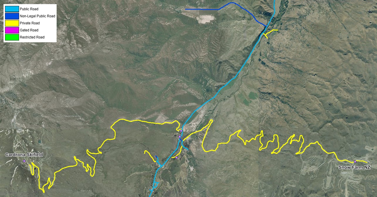
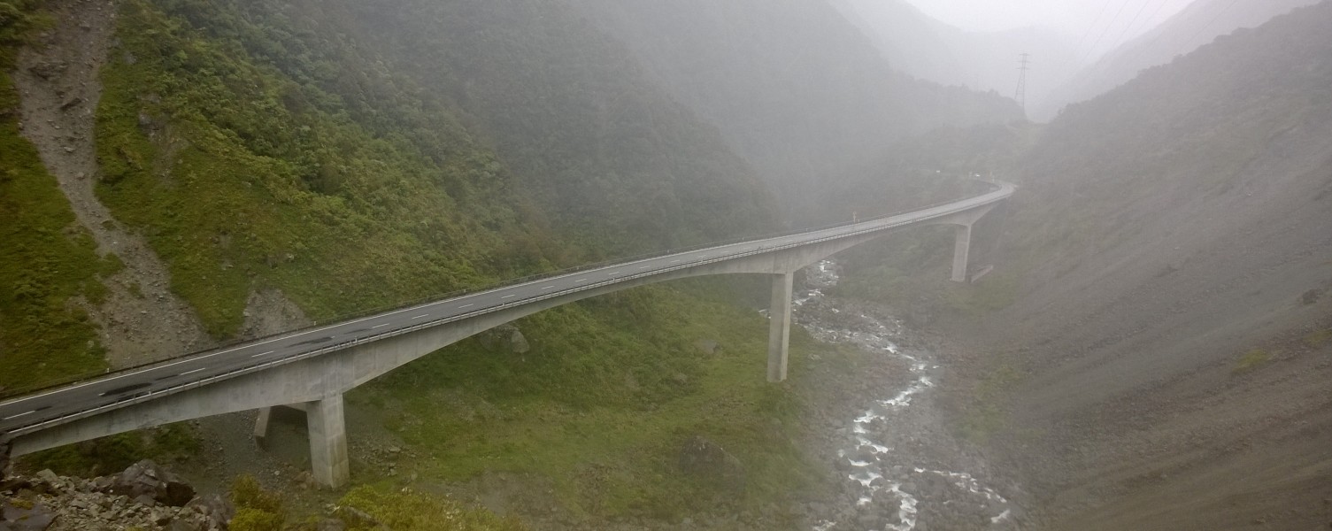
The above image visualises the legal status of the roads around Cardrona ski field - a number of which are not legally defined as "public roads".
Here at NationalMap, we pride ourselves on getting things right and we’ve been doing this for 30 years.
Quality is our focus; it’s there to provide our customers with confidence and assurance that any analyses or tasks they undertake are underpinned by data they can trust.
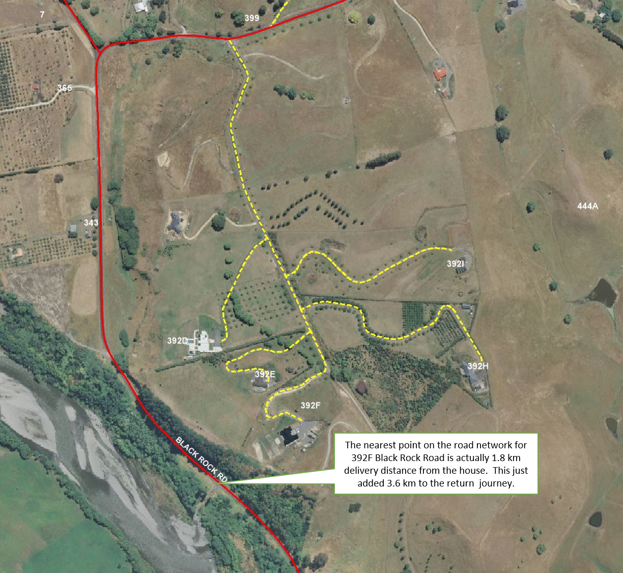
Routing can be a complicated beast, but at its simplest level, it comes down to:
- Address point location and proximity to roads; and
- Linking said address point to the most appropriate location or roadlink.
Many New Zealand Local and Central Government agencies are doing a great job of providing free public access to the data they collect and create. For example, The Land Information New Zealand (LINZ) Data Service (LDS) has over 2,100 datasets available for free download in various geospatial formats.