
Here at NationalMap, we pride ourselves on getting things right and we’ve been doing this for 30 years.
Quality is our focus; it’s there to provide our customers with confidence and assurance that any analyses or tasks they undertake are underpinned by data they can trust.
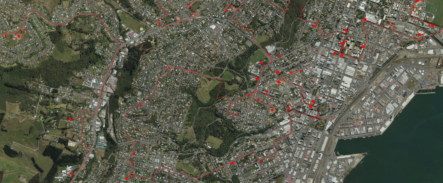
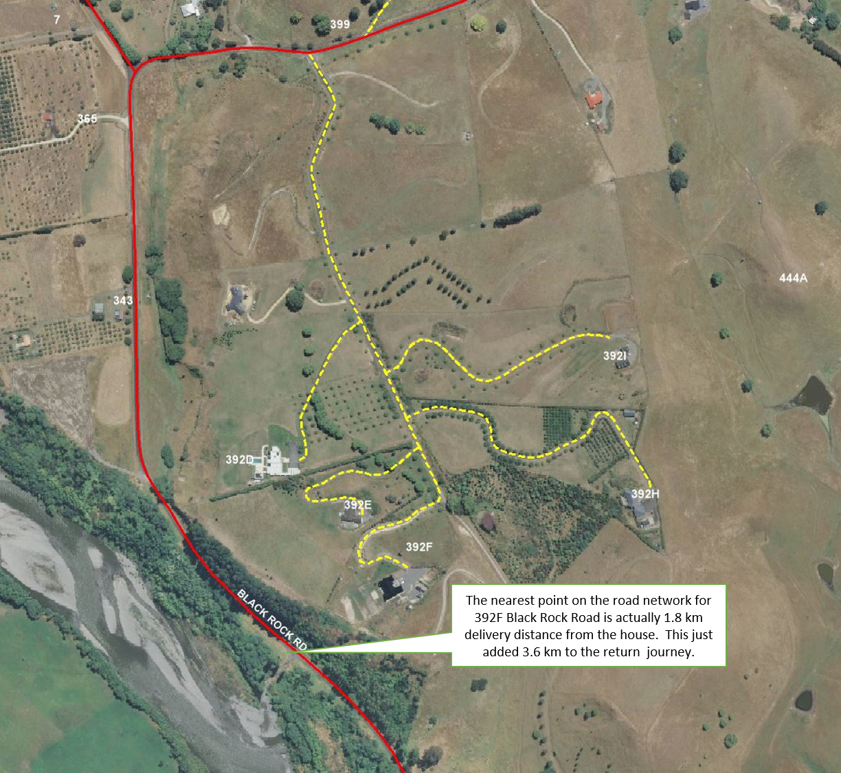
Routing can be a complicated beast, but at its simplest level, it comes down to:
- Address point location and proximity to roads; and
- Linking said address point to the most appropriate location or roadlink.
Many New Zealand Local and Central Government agencies are doing a great job of providing free public access to the data they collect and create. For example, The Land Information New Zealand (LINZ) Data Service (LDS) has over 2,100 datasets available for free download in various geospatial formats.
Interestingly, academics often trace the very origins of geographic information systems (GIS) to the beginnings of epidemiology and John Snow’s Cholera map of 18541.
Globally, the COVID-19 outbreak is demonstrating, in almost real-time, how individual countries, such as Italy, must respond to a truly national emergency.