

Recent Posts


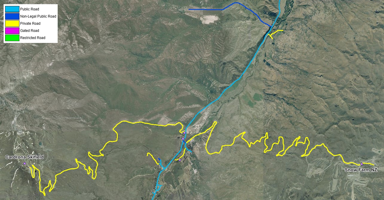
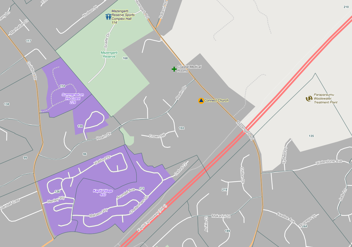
The above image visualises the legal status of the roads around Cardrona ski field - a number of which are not legally defined as "public roads".
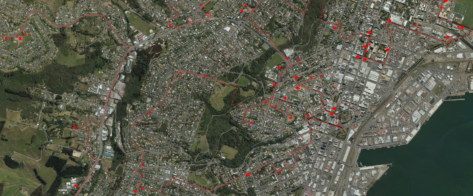
Many New Zealand Local and Central Government agencies are doing a great job of providing free public access to the data they collect and create. For example, The Land Information New Zealand (LINZ) Data Service (LDS) has over 2,100 datasets available for free download in various geospatial formats.
Interestingly, academics often trace the very origins of geographic information systems (GIS) to the beginnings of epidemiology and John Snow’s Cholera map of 18541.
Globally, the COVID-19 outbreak is demonstrating, in almost real-time, how individual countries, such as Italy, must respond to a truly national emergency.